This morning I decided that if I felt strong enough when I got to Rosslyn, I'd continue on down to Gravelly Point Park, where we'd started the costume ride in DC a few weeks ago. Scott agreed to pick me up wherever my travels took me and after packing my basket with snacks, a light jacket, and iPod with external speaker holder thingie (in case I got lonely and needed musical accompaniment), I was off.
The ride from Sterling to Reston felt especially difficult; I'm not sure why. I took a quick break at a trail side gazebo and guzzled a little water while exchanging my fleece gloves for my regular fingerless gloves. The ride from Reston to Vienna and on to Falls Church was easier and I kept a pretty good pace of spinning. After crossing Rte 7 in Falls Church, I stopped in a little park and snacked, hydrated, a gave Scott an update of my whereabouts.
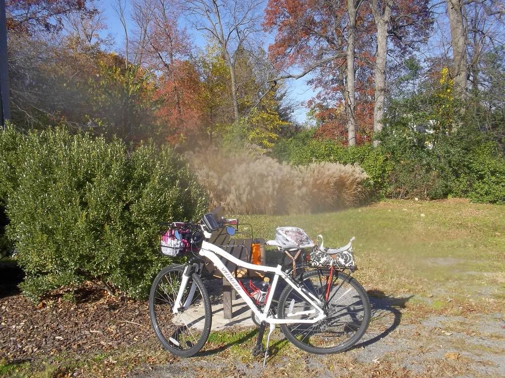
I knew that I would eventually jump off the W&OD Trail and jump onto the Custis Trail, but I wasn't sure where that would happen. I passed a confusing sign before the W&OD dumped me onto a residential street. I'd remembered seeing that part of the trail on the map last night, but I couldn't remember if that was before or after the intersection. Smart phone and intarwebs to the rescue! The answer: continue on the W&OD for another mile or so. As luck would have it, I misread the next sign and actually did go in the wrong direction at the intersection of trails, but my niggling doubt kicked in only a couple dozen feet after the intersection and, after turning around, I was back on the right route.
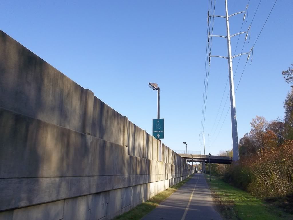
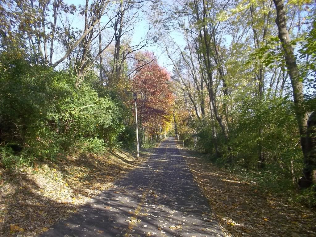
This was my first time on the Custis and it hugs up against I-66 with lots of ups and downs to go over or under road crossings. There are LOTS of blind corners and more than once I would call out "passing on your left" to a pedestrian and then follow up with "oops, no, not yet" as another cyclist popped up from around the blind corner.
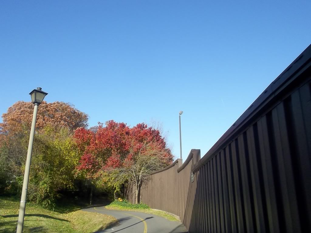
There are a couple of road crossings at grade in Rosslyn, but they all have lights, some of which are bike specific lights. Cool!
I elected not to take the Key Bridge into Georgetown and continued on the trail down a switch-backy ramp to a small trail- and river-side parking lot which opened onto the Mount Vernon trail. Before continuing south, I turned around and rode off-road for a bit under the ramp and along the river until I found a clear spot where I could snap a photo of Georgetown.
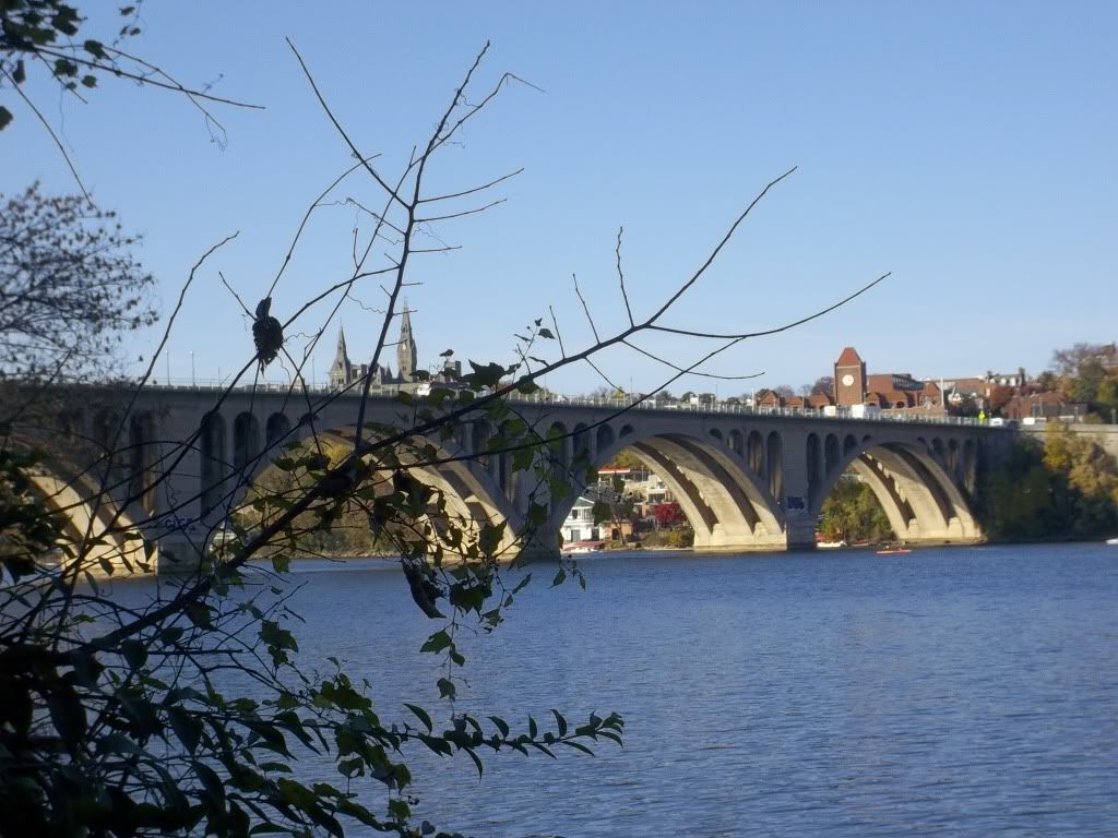
My spidey sense wasn't going off, but I kept thinking that I was going to get mugged or stumble across a drug deal and be murdered. Luckily, neither happened and I skedaddled back to the relative safety of the populated trail. I phoned Scott to tell him I felt great and that I was continuing on the Mount Vernon Trail to Alexandria. He said he was leaving and would meet me at Gravelly Point.
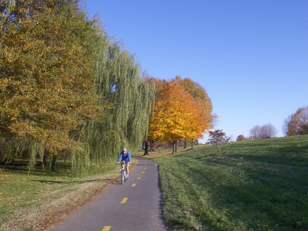
Of course I couldn't resist snapping photos of the District skyline.
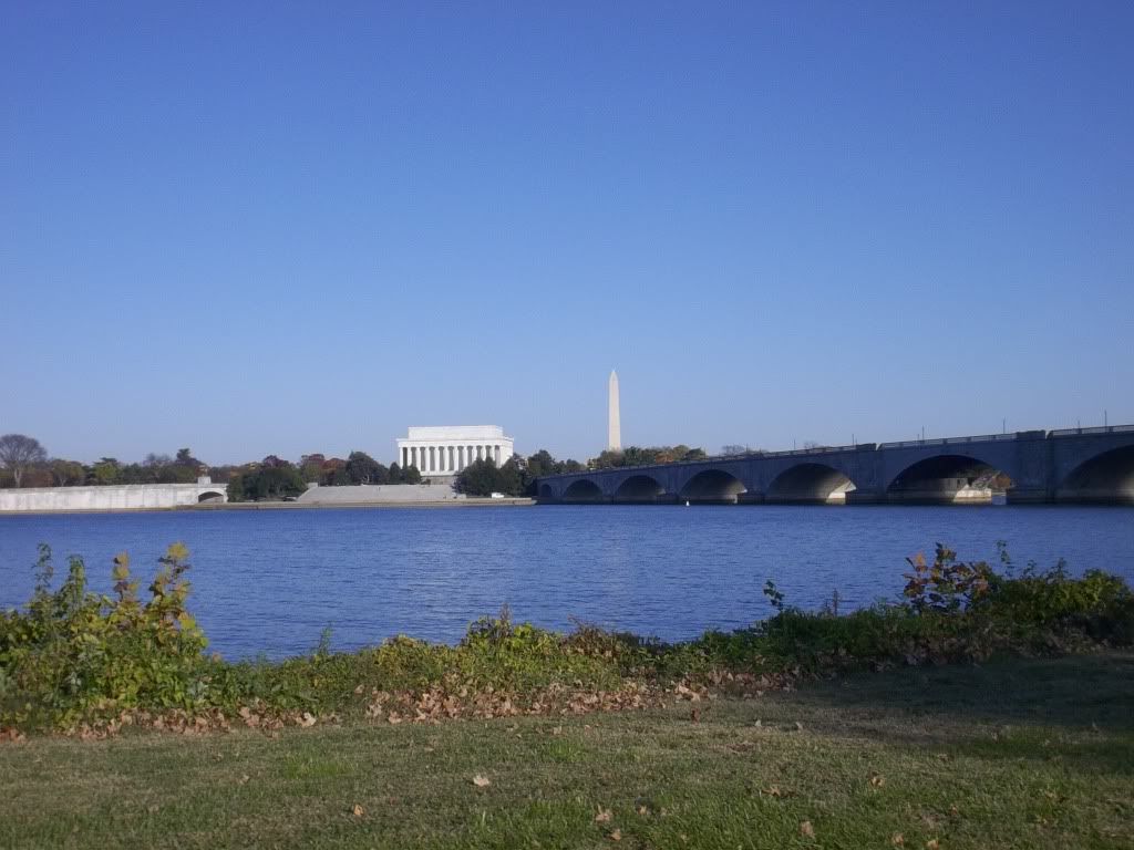
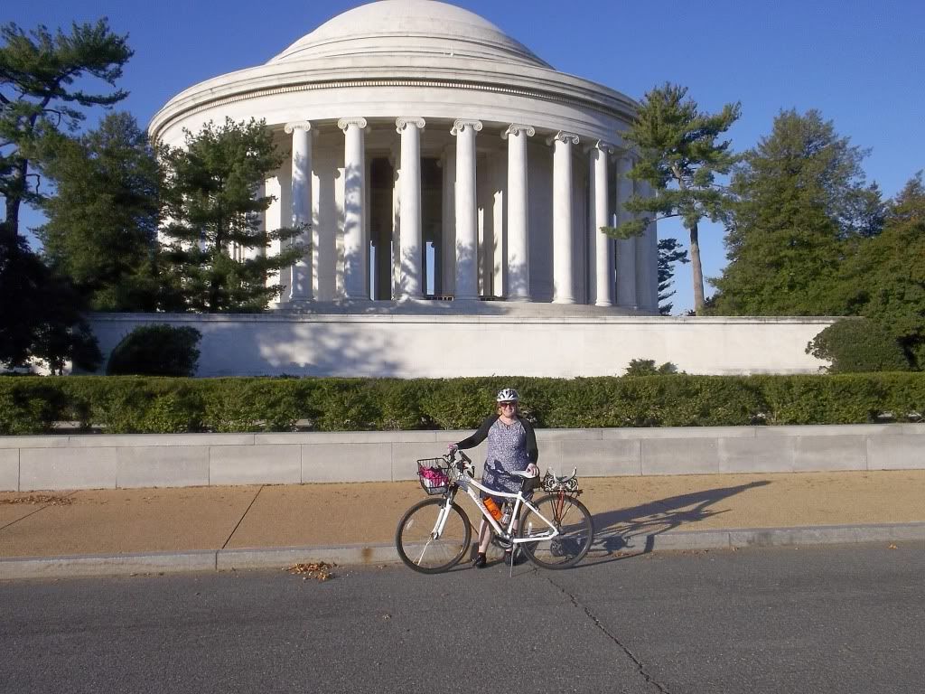
Speaking of not resisting, I decided that since I SO CLOSE, I had to jump onto the 14th Street Bridge and pop across to DC for just a couple of minutes. A tourist a the Jefferson Memorial was kind enough to snap photographic evidence of my achievement.
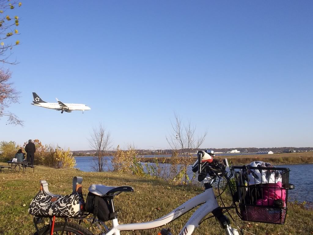
And with that, I made the final leg of my journey back to Virginia and down to the park. Three hours (to the minute) after leaving home, I was sitting on a picnic table twenty-nine miles from home and snapping photos of planes landing at Reagan National.
Scott picked me up fifteen minutes later and I basked in the happiness and pride of achieving a goal I'd set for myself six short months ago. Maybe in another six months I'll be able to ride the trails back home.
No comments:
Post a Comment